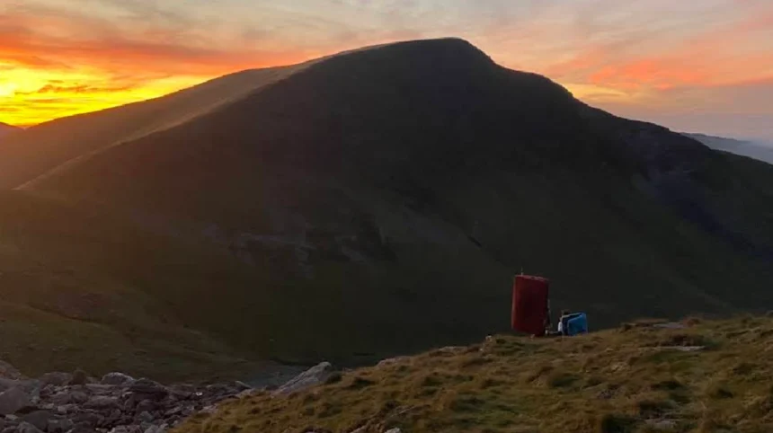
The mountains in Wales are distinct upland landforms shaped by ancient tectonic activity and extensive glacial erosion over millions of years. These peaks form major national parks, featuring steep ridges, deep U-shaped valleys, and high-altitude lakes across three primary mountain ranges.
The primary mountain ranges in Wales encompass Eryri National Park in the north, Bannau Brycheiniog National Park in the south, and the Cambrian Mountains in the central region. These uplands were formed during the Caledonian orogeny approximately 400 million years ago when ancient tectonic plates collided. Subsequent ice ages carved dramatic glacial cirques, known locally as cums, and created narrow arêtes such as Crib Goch. The geology consists primarily of Ordovician and Silurian sedimentary rocks, interspersed with volcanic intrusions that form the highest summits. Elevation profiles across Welsh ranges vary significantly, with fifteen summits exceeding 3,000 feet in altitude, all concentrated within the Glyderau, Carneddau, and Snowdon massifs.
Hydrological systems originating in these highlands feed major rivers, including the River Dee, River Severn, and River Wye, making these summits critical watershed zones. Vegetation patterns transition from oak woodlands at lower elevations to acid grasslands, blanket bogs, and arctic-alpine plant communities near the summit zones. The climate is maritime Atlantic, producing high annual rainfall exceeding 3,000 millimeters on peak summits and rapid weather shifts throughout all calendar seasons.
Which Peak Holds the Highest Elevation Among Mountains in Wales?
Yr Wyddfa, historically known as Snowdon, is the highest peak among mountains in Wales, reaching an elevation of 1,085 meters above sea level. Located in Gwynedd, this summit forms the focal point of Eryri National Park and attracts massive annual visitation.
Yr Wyddfa sits at 1,085 meters above sea level, making it the highest elevation in the United Kingdom south of the Scottish Highlands. The mountain massif comprises six major ridges: Llanberis, Pyg Track, Miners Track, Watkin Path, Rhyd Ddu, and the Snow Ranger Path. Geological surveys show that the upper peak structure contains fossilized marine organisms, confirming its ancient origin as a seabed elevated by volcanic activity. The summit environment supports rare botanical species, most notably the Snowdon Lily, Gagea serotina, which survives exclusively on fragile rock faces. A historic mountain railway, operational since 1896, runs 7.5 kilometers from Llanberis village directly to the summit visitor center, Hafod Eryri.
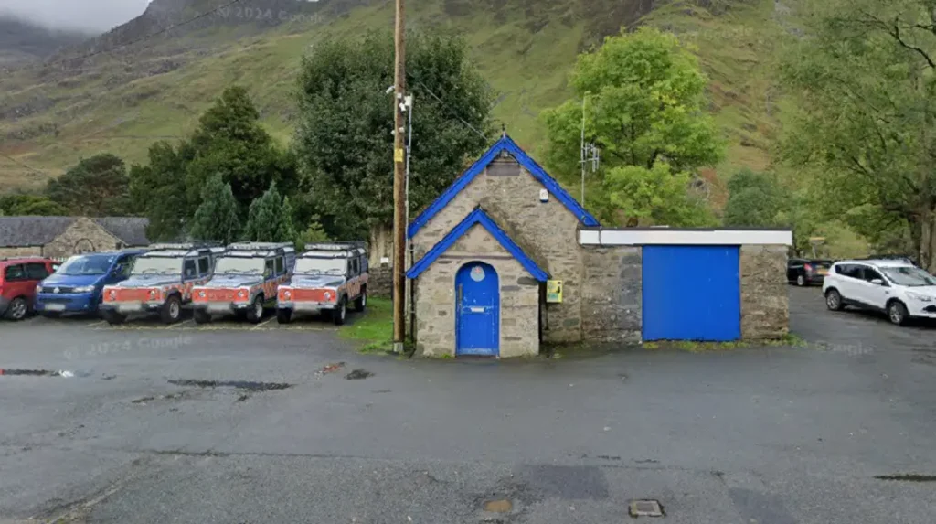
Search and rescue operations on the peak are managed by the Llanberis Mountain Rescue Team, responding to over 200 incidents annually due to extreme weather conditions and steep terrain. Environmental management programs operate constantly to mitigate footpath erosion caused by more than 600,000 hikers climbing the mountain each year. Neighboring peaks in the massif include Garnedd Ugain at 1,065 meters and Crib Goch at 923 meters, which together form the iconic Snowdon Horseshoe scrambling route.
How Do the Southern Ranges Compare to the Northern Mountains in Wales?
Southern Welsh ranges, primarily Bannau Brycheiniog, feature Old Red Sandstone escarpments and flat-topped summits, whereas northern peaks consist of sharp, rugged slate and volcanic rock structures. Northern mountains reach higher overall elevations and exhibit steeper, more technical alpine terrain throughout.
Bannau Brycheiniog National Park, formerly known as the Brecon Beacons, forms the dominant upland domain across South Wales, stretching from Llandeilo in the west to Hay-on-Wye in the east. The highest point in South Wales is Pen y Fan, reaching an altitude of 886 meters, closely flanked by Corn Du at 873 meters and Cribyn at 795 meters. The geological structure of the south is defined by Devonian Old Red Sandstone, creating plateau summits with precipitous north-facing glaciated escarpments. In contrast, northern mountains in Eryri are composed of resistant Ordovician igneous rocks and slate, creating narrow ridges, exposed rock walls, and sharper peak profiles. Vegetation in southern ranges consists heavily of moorland, heather, and managed sheep pasture, whereas northern highlands harbor specialized arctic-alpine flora and slate scree slopes. The hydrological landscape of the southern ranges includes large reservoir systems such as Llwyn-on and Pontsticill, built to supply industrial and urban hubs across South Wales. Drainage patterns in the south flow southward toward the Severn Estuary, whereas northern mountain waters flow directly into the Irish Sea and the Menai Strait.
What Routes Offer the Best Access for Hiking Mountains in Wales?
Hiking access across Welsh summits ranges from wide, graded paths to highly exposed rock scrambles across ridge lines. Major routes are maintained by national park authorities and feature designated trailhead parking, waymarking, and varied difficulty classifications.
Popular trails on Yr Wyddfa include the Llanberis Path, covering 14 kilometers round-trip with a gradual gradient suitable for intermediate walkers. The Miners Track and Pyg Track both start at Pen-y-Pass at 359 meters elevation, reducing total vertical ascent but introducing steeper, rockier final climbs to the summit. For experienced mountaineers, the Crib Goch ridge presents a grade-one scramble featuring sheer drops on both sides requiring steady balance and alpine navigation skills.
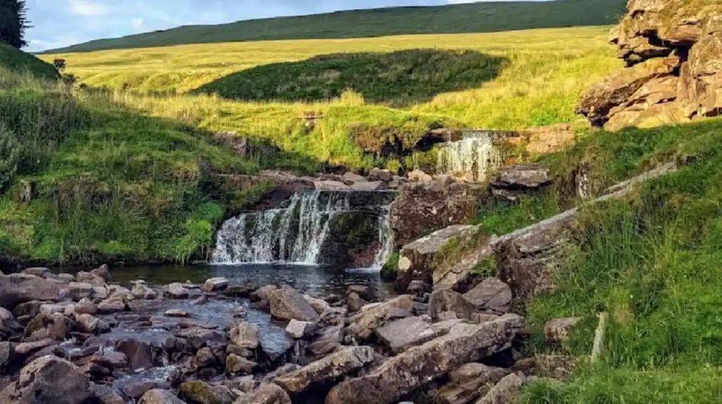
In the southern region, the main route up Pen y Fan begins at Pont ar Daf along the A470 road, offering a direct 6-kilometer path maintained with pitched stone paving. The Cambrian Way provides an end-to-end long-distance trail spanning 470 kilometers, traversing the remote middle spine of the country from uk/local/cardiff/">Cardiff to Conwy. Navigation on all routes demands physical topographical maps and compass capability, as dense cloud cover can reduce visibility to under five meters within minutes. Mountain safety organizations recommend carrying waterproof outer layers, thermal insulation, sturdy boots, and emergency shelter devices on all high-altitude Welsh excursions.
Why Are the Central Uplands Significant Among Mountains in Wales?
The central uplands, known as the Cambrian Mountains, serve as the remote hydrological and ecological spine of Wales. This vast granite and slate region contains primary water catchments, wildlife refuges, and extensive upland wilderness areas.
The Cambrian Mountains stretch between Eryri in the north and Bannau Brycheiniog in the south, encompassing high plateau landscapes without major highway crossings. Pumlumon is the highest peak in this central massif, reaching an elevation of 752 meters and serving as the source for both the River Severn and the River Wye. Geological formations here consist primarily of Silurian mudstones and sandstones, creating rolling moorlands rather than jagged alpine horns. The region features major water storage reservoirs, including the Elan Valley reservoir system constructed during the late nineteenth century to supply freshwater to Birmingham.
Ecological habitats across the central plateau include vast blanket bogs that store carbon and provide breeding grounds for rare bird species, such as the red kite and golden plover. Due to low light pollution levels, large sections of the central uplands hold official Dark Sky status, making them premier locations for astronomical observation. Despite lacking the extreme vertical relief of northern peaks, the Cambrian region requires high self-reliance due to sparse mobile phone coverage and limited roadside infrastructure.
Frequently Asked Questions
What is the easiest mountain to climb in Wales for beginners?
Pen y Fan in South Wales and Moel Famau in the Clwydian Range offer the easiest walking tracks for beginners. The Llanberis Path on Yr Wyddfa is also straightforward, though its long distance requires moderate fitness.
How many mountains over 3,000 feet are located in Wales?
There are fifteen official peaks over 3,000 feet in Wales, all located within Eryri National Park in North Wales. Hikers attempt to summit all fifteen in a single continuous expedition known as the Welsh 3000s challenge.
What equipment is mandatory for walking in Welsh mountains?
Essential gear includes waterproof clothing, sturdy ankle-support boots, extra insulating layers, a physical paper map with a compass, and emergency food rations. Weather conditions change rapidly at higher elevations across all ranges.
Is wild camping legal across the mountains in Wales?
Wild camping is generally illegal without explicit permission from the landowner, as most land is privately owned. However, camp-above-the-fenceline practices are tolerated in remote areas if campers follow Leave No Trace principles.
When is the best time of year to hike mountains in Wales?
The ideal period runs from May to September, offering longer daylight hours and milder weather. Winter months require crampons, ice axes, and advanced mountaineering skills due to ice and heavy snowfall on summits.