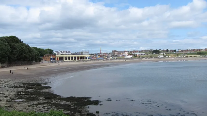
Tide times in Barry Wales follow a predictable semi-diurnal cycle with two high tides and two low tides occurring every twenty-four hours and fifty minutes due to gravitational pulls from the moon and sun.
- Why Are the Tide Times in Barry Wales So Extreme?
- How Do You Read a Local Tidal Prediction Chart for Barry?
- What Are the Main Hazards Associated With the Barry Coastline?
- How Do Tidal Movements Impact Water Sports and Navigation in Barry?
- What Historical Infrastructure Protects Barry From Severe Tidal Surges?
- Frequently Asked Questions
The coastal settlement of Barry resides along the northern rim of the Bristol Channel in South Wales. This region experiences the second-highest tidal range on planet Earth, exceeded only by the Bay of Fundy in Canada. Gravitational interactions between the earth, moon, and sun produce alternating vertical shifts in sea surface heights. These astronomical forcing functions create dynamic marine conditions across the Vale of Glamorgan coastline. Local mariners, bathers, and commercial vessels rely on official hydrographic models to predict water vertical levels. The United Kingdom Hydrographic Office processes data from local tide gauges to calculate daily marine forecasts. Understanding periodic sea fluctuations ensures public safety during recreational beach outings, angling expeditions, and coastal navigation across the Bristol Channel waters.
Why Are the Tide Times in Barry Wales So Extreme?
The tide times in Barry Wales display extreme vertical variations because the funnel-shaped geography of the Severn Estuary constricts advancing ocean waves, dramatically raising water heights during spring tide events.
The physical bathymetry of the Bristol Channel creates a resonance effect that amplifies incoming North Atlantic ocean swells. As water flows eastward toward the Severn Estuary, the channel progressively narrows and shallow seabed depths force hydraulic volume upward. This hydrodynamic funneling action produces an average spring tidal range exceeding twelve meters in the Barry municipal waters. Neap tides occur during moon quarters, generating smaller vertical variances around six meters between high and low sea levels. These hydraulic movements move millions of tonnes of displaced seawater twice per day throughout the coastal estuary. Consequently, vast expanses of intertidal sand mudflats vanish completely beneath deep surface currents during peak high water phases.
How Do You Read a Local Tidal Prediction Chart for Barry?
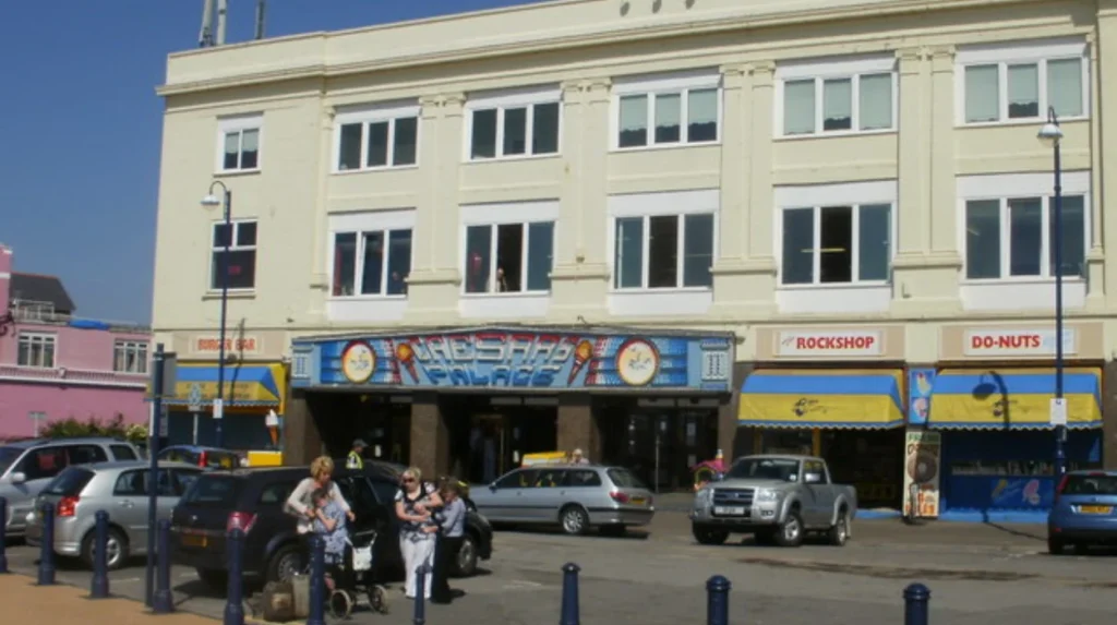
You read a local tidal prediction chart for Barry by identifying daily high and low water times, converting Greenwich Mean Time to British Summer Time, and measuring height against chart datum.
Tide tables present chronological predictions of daily high water and low water occurrences for designated coastal recording stations. Each entry details specific times alongside predicted water heights expressed in meters above Chart Datum. Chart Datum represents the lowest astronomical tide level expected under average meteorological conditions. Mariners consult these published tables to ensure adequate water depth before traversing shallow rocky reefs off Friars Point or Jackson’s Bay. Users must adjust standard table times by one hour forward when British Summer Time applies during warmer calendar months. Local barometric pressure readings and strong onshore winds alter actual water levels beyond standard astronomical projections. High atmospheric pressure depresses sea surfaces, while severe southwesterly gales push ocean surges inland.
What Are the Main Hazards Associated With the Barry Coastline?
The main hazards associated with the Barry coastline include fast-rising intertidal waters, strong longshore currents, slippery mudflats, and sudden isolation on exposed rocky headlands during incoming high tides.
The high vertical tidal range along the Barry waterfront creates dangerous coastal conditions for unprepared beachgoers. Incoming tides advance across flat foreshores at speeds faster than a walking human pace, trapping visitors on exposed sandbars. Whitmore Bay and Cold Knap Point contain treacherous rip currents that intensify as massive water volumes drain from the Severn Estuary. Rocky headlands, such as Friars Point, become surrounded by deep sea channels long before high tide reaches peak elevation. Mudflats situated near Barry Docks present severe sinking risks for pedestrians venturing onto intertidal terrain. HM Coastguard units continuously monitor these coastal sectors to prevent accidental drownings caused by localized tidal cutoffs.
How Do Tidal Movements Impact Water Sports and Navigation in Barry?
Tidal movements impact water uk/sports/">sports and navigation in Barry by dictating safe boat launch windows, restricting kayak access near rocky outcrops, and altering wave breakers for local surfers.
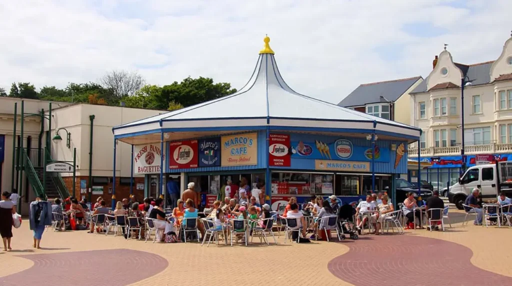
Commercial vessels entering Barry Docks must align passage plans with high tide windows to maintain required hull clearance. Harbor pilots monitor real-time tidal telemetry to guide heavy cargo ships safely through lock gates into sheltered dock basins. Kayakers, paddleboarders, and coastal swimmers rely on tidal forecasts to avoid fighting fierce ebbs that pull offshore toward open Channel waters. Surfing conditions at local breaks vary dramatically depending on water heights over underlying rock reefs. Low tide exposes sharp limestone reefs, making water sport activities hazardous for unguided novices. Anglers targeting cod and sea bass adjust casting locations along the seawall based on tidal stages to maximize seasonal catch rates.
What Historical Infrastructure Protects Barry From Severe Tidal Surges?
Historical infrastructure protecting Barry includes stone breakwaters, concrete sea defense walls, dock lock gates, and tidal embankments built during nineteenth-century industrial port construction projects.
Industrial expansion during the late nineteenth century transformed Barry from a rural village into an international coal export depot. Engineers constructed massive stone breakwaters at the port entrance to shield commercial docks from violent Bristol Channel waves. The Barry Railway Company built extensive dock complexes equipped with heavy lock gates to maintain internal water depths during low tide periods. Modern coastal defense projects reinforce these heritage Victorian structures with precast concrete sea walls and rock armor revetments. Marine defense installations absorb wave kinetic energy, shielding coastal residential neighborhoods and railway infrastructure from catastrophic storm surge inundations. Coastal engineers conduct structural inspections to ensure these storm barriers withstand rising global sea levels.
Frequently Asked Questions
What time is high tide at Barry Island today?
Exact daily high tide times vary continuously because tidal cycles shift forward forty to fifty minutes every day. Visitors must check live tide tables online or consult local beach noticeboards before planning walks along Whitmore Bay.
Can you walk around Friars Point at low tide safely?
Walking around Friars Point is possible during low tide, but visitors must return well before the tide turns. Water surrounds the headland quickly, leaving pedestrians stranded on submerged limestone ledges without clear exit paths.
Why does the sea go out so far at Barry Beach?
The sea retreats hundreds of meters at Barry because the Severn Estuary possesses one of the world’s largest tidal ranges. Shallow beach slopes expose huge expanses of sandy seabed as vertical water levels drop.
Is it safe to swim in Whitmore Bay during an ebbing tide?
Swimming during an ebbing tide is hazardous because outgoing currents pull swimmers away from shore toward open channels. Swimmers should always remain within RNLI lifeguard flagged zones on Whitmore Bay.
How does the tidal range at Barry compare to other UK beaches?
Barry experiences an exceptional tidal range of up to twelve meters during spring tides, whereas most UK coastal sites average three to six meters. This makes the local waters far more dynamic than typical seaside destinations.