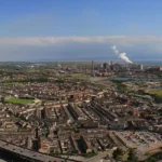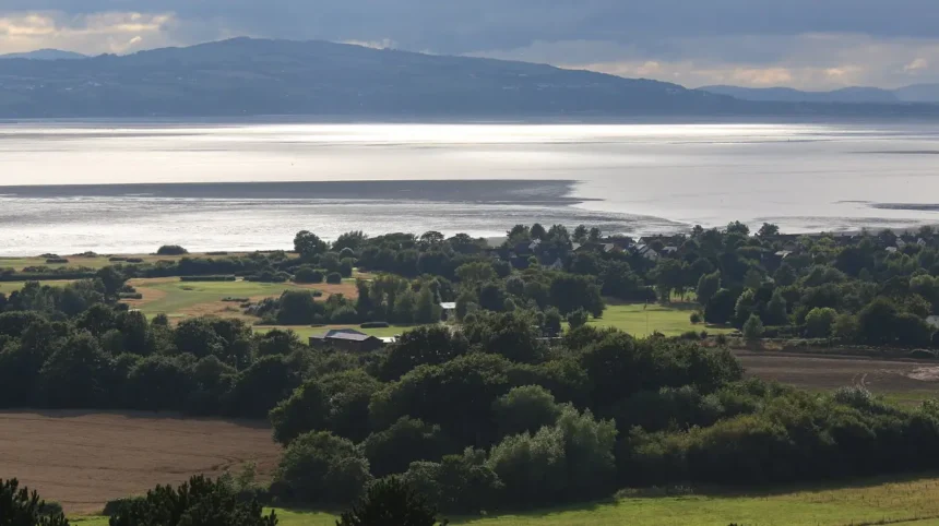
The land border between Wales and England extends approximately 160 miles or 260 kilometers from the Irish Sea in the north to the Severn Estuary in the south. The northernmost point reaches the Dee Estuary near Saltney and Chester. The border runs southwards through the Welsh Marches, passing historic counties including Flintshire, Denbighshire, Powys, and Monmouthshire on the Welsh side. On the English side, it runs alongside Cheshire, Shropshire, Gloucestershire, and Herefordshire. The southernmost boundary terminates at the mouth of the River Wye near Chepstow where it joins the Severn Estuary. The geographic path follows both natural river courses and historic man-made boundary markers.
The modern alignment of the border is defined by administrative boundaries established through statutory land surveys and historic legislation. Key river systems that physically demarcate parts of the border include the River Dee, the River Teme, the River Clun, and the River Wye. In places like Saltney, the border cuts directly through urban streets, dividing properties between Welsh and English jurisdictions. Maps produced by the Ordnance Survey explicitly delineate the precise administrative boundary line. The geography features varied topography, ranging from salt marshes in the northern estuaries to mountainous regions in the Black Mountains and lower river valleys in the south.
How Was the Historical Boundary Between Wales and England Established?
The historical border between Wales and England originated in the early medieval period through military conflict, territorial conquest, and physical fortification projects. Anglo-Saxon rulers in Mercia built earthworks to establish control over western territories during the eighth century. The most prominent physical marker was Offa’s Dyke, constructed under King Offa of Mercia around the year 785 AD. This continuous earthwork spanned from the Irish Sea to the River Wye, creating a defensive barrier and border marker. Following the Norman Conquest of 1066, Norman lords established Marcher Lordships along the borderland, operating as autonomous frontier zones to control the Welsh kingdoms.
Formal legal consolidation occurred during the sixteenth century under King Henry VIII through the Laws in Wales Acts of 1535 and 1542. These legislative statutes abolished the special jurisdiction of the Marcher Lordships and annexed Wales directly into the Kingdom of England. The legislation established thirteen statutory counties in Wales and fixed the administrative border lines that remain largely intact today. Monmouthshire occupied an ambiguous administrative status for several centuries under this legislation until the Local Government Act 1972 explicitly confirmed Monmouthshire as a Welsh county. Modern administrative reviews continue to rely on the boundaries established by these historical legislative acts.
What Administrative and Legal Differences Exist Across the Wales England Border?
The Wales border with England represents a legal and administrative division between two distinct governance systems within the United Kingdom. Devolution in 1999 created the National Assembly for Wales, now known as Senedd Cymru or the Welsh Parliament. Senedd Cymru possesses primary legislative authority over primary public policy areas including healthcare, education, local government, agriculture, environment, housing, and transport. England remains governed directly by the UK Parliament at Westminster for these devolved matters. Consequently, statutory regulations, public health policies, and educational curricula diverge significantly on either side of the border.
Legal jurisdiction operates under a unified umbrella called the law of England and Wales, but statutory enactments differ between regions. For example, health services are managed separately by NHS Wales and NHS England, resulting in distinct prescription charges, hospital administration structures, and care strategies. Environmental regulations and municipal planning frameworks are governed by Natural Resources Wales on the western side and the Environment Agency in England. Regional local authorities manage local services such as education and road maintenance according to their respective parliamentary directives. Regional economic projects, such as the Cardiff Investment Zone, operate within specific Welsh legal frameworks.
How Does Transport and Cross-Border Movement Operate Daily?
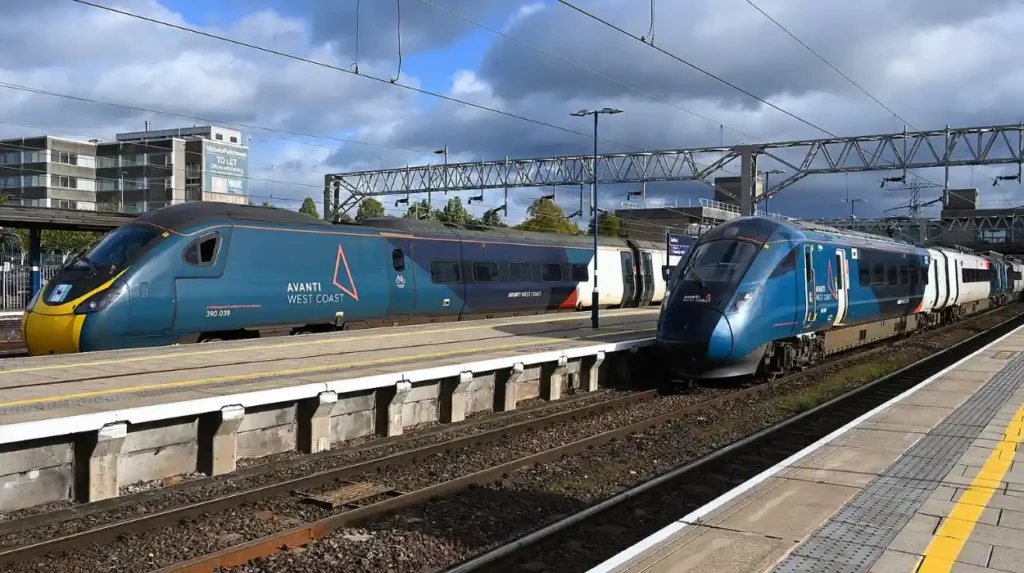
Transportation across the Wales border with England operates without physical border controls, customs checkpoints, or passport inspections. Millions of commuters, tourists, and freight transport vehicles cross the boundary daily via road and rail networks. Key road arteries connecting the two nations include the M4 motorway across the Prince of Wales Bridge in the south, the M58 trunk route, the A483 connecting Chester and Wrexham, and the A5 corridor through North Wales. Rail services are integrated through national operators like Transport for Wales, Avanti West Coast, and Great Western Railway, connecting regional hubs such as Cardiff Central, Newport, Chester, and Shrewsbury.
Cross-border infrastructure requires coordinated management between Welsh and English transport bodies. National Highways oversees primary trunk roads in England, while Traffic Wales manages major routes across Wales. Regional infrastructure developments, such as road improvements around Mansion Hill Park in Newport, support commuter flows across the southern border corridor. Public transit coordination extends to cross-border bus services operating between border towns like Monmouth, Hereford, Oswestry, and Chepstow. Emergency services also maintain cross-border mutual aid agreements, allowing police forces, ambulance trusts, and fire authorities to cross the border during major incidents.
What Are the Main Towns and Cities Located Along the Border?
The border region, historically known as the Welsh Marches, contains several major urban centers, historic market towns, and commercial hubs. In the north, the historic city of Chester sits immediately east of the border in Cheshire, serving as a regional center for cross-border transport and commerce. Adjacent to Chester on the Welsh side lies Wrexham, the largest city in North Wales, which supports major manufacturing, sports, and commercial sectors. Sports events, such as the matches played by Wrexham Women in the Adran Premier, draw cross-border visitors throughout the athletic season.
Further south along the border, key market towns include Oswestry and Ludlow in Shropshire, alongside Welshpool and Knighton in Powys. In the central border area, Hereford acts as an agricultural and economic hub for Herefordshire, closely linked to the Welsh town of Hay-on-Wye. In the southern Marches, the county of Monmouthshire contains historic border settlements including Monmouth, Abergavenny, and Chepstow. Local administrative decisions, such as Monmouthshire councillors reviewing regional authority appointments, directly impact governance across these border communities. Near the Severn Estuary, the city of Newport functions as a major gateway city into South Wales.
Frequently Asked Questions
Is there a physical fence or wall between Wales and England?
No, there is no physical wall, fence, or border control between Wales and England today. The ancient earthwork known as Offa’s Dyke built in the eighth century still exists in parts as a historical monument, but modern travel across the border is completely open and unrestricted without checkpoints.
Do you need a passport to travel between England and Wales?
No passport is required to travel between England and Wales. Both nations are part of the United Kingdom and share the Common Travel Area. Drivers and train passengers can cross the border freely without any immigration checks or identification inspections.
Is Monmouthshire in England or Wales?
Monmouthshire is definitively located in Wales. Although its legal status was historically ambiguous under the Laws in Wales Acts between 1535 and 1972, the Local Government Act 1972 officially confirmed Monmouthshire as a Welsh county for administrative and legal purposes.
Do laws change when you cross the border from England into Wales?
Yes, certain laws and public policies change because Wales has its own devolved parliament, Senedd Cymru. While major criminal laws are identical under the joint jurisdiction of England and Wales, devolved areas like NHS health prescription fees, secondary school educational rules, speed limits, and environmental regulations differ between the two countries.
What language is spoken along the Wales England border?
English is spoken universally throughout the border region. However, Welsh is also an official language in Wales, so road signs, public notices, and government services become bilingual (English and Welsh) as soon as you cross into Welsh territory.