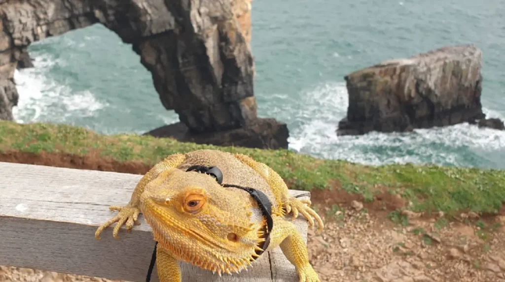
The Green Bridge of Wales is a natural limestone sea arch located on the rocky coast of southern Pembrokeshire, Wales. This geological structure rises 24 metres above the Celtic Sea and spans a horizontal width of over 20 metres. The top of the limestone arch features a layer of green vegetation which provides the specific name for this national landmark. This arch is recognized internationally as one of the most significant examples of coastal geomorphology in the United Kingdom.
This landmark stands within the Castlemartin Firing Range, a military training area managed by the Ministry of Defence. The surrounding environment is strictly protected under three distinct statutory designations. These environmental conservation protections include a Site of Special Scientific Interest, a Special Protected Area, and a Special Area of Conservation. These frameworks safeguard the prehistoric rock layers and the diverse marine wildlife populations that depend on the cliffs. Visitors must travel to the village of Merrion to access the entrance road leading to the viewing platform.
The rock layer forming the structure belongs to the Carboniferous Limestone classification which dates back 358.9 million years. While the raw material is ancient, the actual arch shape is a relatively recent product of continuous marine erosion. The surrounding cliffs contrast sharply with other parts of the South Wales coast due to the complete lack of raised shore platforms. This leaves the sheer vertical rock faces exposed to the full mechanical force of the Atlantic Ocean waves. The entire coastal ecosystem remains completely wild with no permanent commercial facilities or visitor centers at the immediate site.
How Was the Green Bridge of Wales Formed?
The creation of the Green Bridge of Wales is a multi-stage geological process driven by hydraulic action and chemical weathering. Over millions of years, tectonic activity compressed organic marine deposits into massive layers of hard sedimentary limestone rock. The waves of the sea continuously drive pebbles and abrasive gravel directly into lines of physical weakness along the cliff base. These geological weak points consist of vertical joints and horizontal bedding planes that occur naturally within the limestone layers. This mechanical battering gradually hollowed out small indentations on both sides of a narrow projecting rock headland.
As the crashing waves forced water into these tight rock fissures, air became trapped and compressed under extreme structural pressure. This hydraulic process shattered the internal rock matrix and dissolved the calcium carbonate minerals inside the stone. Over millennia, these expanding fissures developed into deep marine caves that penetrated deep into the core of the headland. Because the headland was exposed to wave action from multiple sides, two opposing caves eventually met in the middle. The breakthrough created a continuous underwater passage beneath the solid upper roof, forming the classic sea arch structure.
The outer pier of the natural arch remains stable because it rests upon an exceptionally hard rock pedestal base. This specialized foundational rock resists the erosive force of wind and water much more effectively than the adjacent limestone. Present-day measurements confirm that the most rapid structural changes occur on the down-dip side of the inner arch wall. The natural arch represents a transitional phase in a long-term coastal destruction sequence that alters the map of the Pembrokeshire Coast National Park. Land managers utilize regular laser scanning surveys to track the ongoing shifting of the cliff profiles over time.
Why Is the Future of the Green Bridge of Wales Endangered?
The long-term survival of the Green Bridge of Wales is threatened by accelerated coastal erosion and increasingly volatile global weather patterns. While the limestone arch appears completely solid, it is undergoing an ongoing process of structural degradation that will cause its collapse. Geologists state that the central roof section will eventually fall into the sea due to gravitational pull and base undercutting. Once the top section falls, the remaining outer pillar will become an isolated sea stack. This future transformation will make it look identical to the neighbouring Elegug Stacks located 500 metres to the east.
Climate change has increased the frequency of severe Atlantic weather events which hit the southern coast of Wales directly. In October 2017, Storm Ophelia delivered winds of 130 kilometres per hour and massive storm surges to the Pembrokeshire peninsula. This single weather event caused irreversible damage by tearing a massive chunk of limestone from the lower arch wall. Shortly afterward, Storm Brian struck the weakened structure and caused further rockfalls that reduced the total mass of the bridge. These consecutive storms proved that large-scale structural changes occur during short, violent intervals rather than slow centuries.
The rising global sea level increases the base water height, allowing waves to strike higher up on the cliff face. This altered position exposes softer rock layers to constant hydraulic fracturing and eliminates the protective buffering of lower boulder beaches. Local authorities have prohibited visitors from walking across the top of the arch to prevent human weight from accelerating rock fatigue. Visitors planning to explore the wider region can view similar coastal environments by checking What Makes Dinas Cross Pembrokeshire Wales the Ultimate Coastal Destination to understand local geography. The eventual disappearance of the arch is a factual certainty that demonstrates the temporary nature of coastal landscapes.
How Can Tourists Safely Visit the Site?
Visiting the Green Bridge of Wales requires detailed preparation due to its location inside an active military firing range. The access road leading from Merrion to the coast path travels directly through the Castlemartin live tank training facility. When the Ministry of Defence conducts live-fire military exercises, the entire area is completely closed to civilian access. Large green signs at the entrance gates indicate whether the coastal zone is open or closed to the public. Travelers must check the official online firing schedules or telephone the Pembroke Visitor Centre before initiating their journey.
Vehicle drivers frequently encounter navigation errors because standard GPS units often route cars to incorrect private coastal roads. To avoid this issue, motorists should enter the specific destination coordinates for the Elegug Stacks into their navigation systems. The final approach utilizes a long military road that leads directly to a free gravel car park on the clifftop. Photography and video recording are strictly prohibited while driving through the military zone due to active national security protocols. Visitors are permitted to photograph the landscape only after they have arrived safely at the designated coastal path.
The clifftop lacks safety fences, warning rails, or paved walkways, which leaves the raw vertical drops completely exposed. The turf edges are highly unstable and can crumble without warning due to underlying subterranean water hollows. Tourists must remain on the marked trail and keep a safe distance of at least five metres from the edge. Strong winds frequently sweep across the Atlantic, making sturdy footwear and waterproof layers essential for safe navigation along the path. For individuals interested in extended stays in the region, reading What Are the Complete Guidelines for Wild Camping Wales provides necessary safety parameters.
What Wildlife and Nearby Attractions Can Visitors Experience?
The coastal cliffs surrounding the Green Bridge of Wales support one of the largest colonies of nesting seabirds in Pembrokeshire. The Elegug Stacks, which rise 36 metres out of the sea, serve as a vital breeding sanctuary from March to July. The Welsh word elegug translates directly to guillemot, which is the dominant bird species found packed onto the rock ledges. Thousands of razorbills, fulmars, kittiwakes, and cormorants also construct nests along these isolated, predator-free vertical stone columns. The Pembrokeshire Coast National Park authority selected the iconic guillemot as its official emblem due to this specific wildlife concentration.
The air around the stacks is filled with constant avian calls and the distinct scent of active nesting colonies. Below the cliffs, Atlantic grey seals regularly feed in the surging waves and rest on inaccessible pebble beaches. Rare red-billed choughs fly along the clifftop grasses to hunt for insects within the specialized maritime turf. The entire ecosystem highlights the close relationship between unique coastal rock shapes and specialized biological survival strategies. Rock climbing activities face strict seasonal bans on these cliffs to prevent human disturbance during critical egg incubation periods.
A short walk along the eastward trail brings hikers to two famous geological features known as The Cauldron and Huntsman’s Leap. The Cauldron is a massive, deep blowhole formed by a collapsed sea cave roof where water churns violently during high tides. Huntsman’s Leap is a steep, narrow chasm cut deep into the limestone cliffs that attracts experienced vertical rock climbers. Visitors can combine their coastal trip with a walk through the nearby historic Bosherston Lily Ponds and Barafundle Bay. Local infrastructure changes occasionally occur due to environmental factors, as documented in Manorbier School Closure Approved After Fire and Vote Wales within the wider county.
FAQs About Green Bridge of Wales
Can you walk across the top of the Green Bridge of Wales?
Walking across the top of the rock arch is strictly prohibited due to severe structural instability and safety risks. Large limestone pieces fell into the sea during Storm Ophelia, which reduced the structural integrity of the bridge. Approaching the edge of the arch poses a life-threatening fall risk to visitors due to sudden rock failure.
Why is the road to the Green Bridge of Wales sometimes closed?
The access road is closed because it runs directly through the active Castlemartin Firing Range managed by the military. The Ministry of Defence uses this land for live-armour training exercises involving tanks and heavy live ammunition. Red flags are raised at the guard posts to alert civilians when live firing is actively occurring.
What is the best time of year to see the seabirds at Stack Rocks?
The optimal time to view the nesting bird colonies is between the months of May and July. During this peak breeding window, thousands of guillemots and razorbills completely cover the vertical surfaces of the rock stacks. Most adult migratory birds leave the Pembrokeshire cliffs by the first week of August to return to open ocean waters.
Are there any admission fees or parking charges at the site?
There are no entry fees or parking charges required to visit the natural arch or the viewing platform. The gravel parking area provided at the end of the military road is completely free for public use. Visitors should note that there are no public toilets, trash bins, or permanent running water facilities at this location.
Is the Green Bridge of Wales dog friendly?
Dogs are permitted on the public coastal paths but must be kept on a short leash at all times. The cliffs are completely open with no safety barriers to stop an animal from falling over the vertical drops. Strong, unpredictable coastal wind gusts can easily disorient animals that wander too close to the unstable turf edges.