Capel Curig is a small village and community situated in the heart of Eryri National Park within the Conwy County Borough in North Wales. The settlement sits at the strategic junction of the A5 trunk road and the A4086 route.
- What is the historical background of Capel Curig from ancient times to the modern era?
- What are the primary physical geographical features and geological structures in Capel Curig?
- What roles do Plas y Brenin and outdoor centers play in Capel Curig?
- What hiking and mountaineering routes originate near Capel Curig?
- How does the local climate affect environmental conditions in Capel Curig?
- What historical structures and architectural landmarks exist in Capel Curig?
- How does transport infrastructure connect Capel Curig to regional hubs?
- What local economic activities sustain the community of Capel Curig?
- What conservation initiatives protect the natural habitat in Capel Curig?
- Frequently Asked Questions
- What is the best time of year to visit Capel Curig for outdoor activities?
- Where can visitors park when exploring trails around Capel Curig?
- Are there public transport connections directly into Capel Curig?
- Can beginners take outdoor courses at Plas y Brenin?
- What options exist for food and accommodation in the village?
The village occupies a valley floor along the River Llugwy, framed by the Glyderau, Carneddau, and Moel Siabod mountain ranges. Modern administrative boundaries place the community within the local government area of Conwy County Borough. Prior to local government reorganizations, the area fell under Caernarfonshire and later Gwynedd. The total resident population numbered 206 during the recent census assessments.
The physical geography is characterized by glaciated landforms, river valleys, and mountain tarns. High levels of annual rainfall make it one of the wettest inhabited locations across the United Kingdom. The junction serves as a primary access point for travelers moving between Betws-y-Coed, Llanberis, and Ogwen Valley.
What is the historical background of Capel Curig from ancient times to the modern era?
Human activity in Capel Curig dates back to the Roman occupation, evidenced by archaeological remains of Caer Llugwy fort built around 90 AD. The village expanded around a 6th-century chapel founded by the Celtic bishop Saint Curig.
Medieval development centered on agriculture, pastoral farming, and slate quarrying across surrounding hillsides. The modern infrastructure emerged in the late 18th century when industrialist Richard Pennant built carriage roads. Civil engineer Thomas Telford incorporated Capel Curig into the London to Holyhead mail coach route in 1802.
The establishment of the Capel Curig Inn provided accommodation for Victorian travelers, artists, and early mountaineers. During the 20th century, the UK military established a permanent training camp nearby. In 1955, Plas y Brenin opened as the National Outdoor Centre, cementing the village as a mountaineering hub.
What are the primary physical geographical features and geological structures in Capel Curig?
Capel Curig sits onOrdovician volcanic rock formations and sedimentary slate strata shaped by glacial erosion. Key peaks include Moel Siabod reaching 872 meters and the ridges of Pen Llithrig y Wrach.
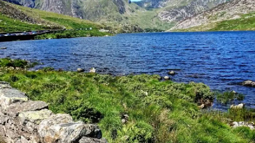
The surface hydrology features the River Llugwy flowing eastward toward Betws-y-Coed. Twin lakes named Llynnau Mymbyr stretch westward, offering clear reflections of the Snowdon Horseshoe. Glacial cirques, U-shaped valleys, and hanging valleys form the high-elevation terrain surrounding the settlement.
Geological formations feature the Capel Curig Volcanic Formation, comprising tough ignimbrites and tuffs interbedded with siltstones. The local soil supports upland heath, acid grassland, and temperate oak woodlands. Weathering processes continue to modify steep rock faces, creating scree slopes at mountain bases.
What roles do Plas y Brenin and outdoor centers play in Capel Curig?
Plas y Brenin operates as the National Outdoor Centre, delivering expert instruction in mountaineering, rock climbing, kayaking, and mountain rescue. The center serves as a standard-setting institution for British outdoor qualification frameworks.
Facilities include indoor climbing walls, rolling pools for kayaking, artificial ski slopes, and accommodation spaces. Thousands of instructors, rescue personnel, and outdoor enthusiasts complete certified training programs at the site every year. The center conducts research into sports performance, outdoor safety, and environmental stewardship.
Secondary facilities like The Towers Outdoor Education Centre provide field study opportunities for school groups. Local private guiding companies operate out of the village, offering tailored climbing and navigation courses. These establishments form the core economic driver for the immediate rural economy.
What hiking and mountaineering routes originate near Capel Curig?
Capel Curig provides direct access to primary walking trails leading to Moel Siabod, the Glyderau range, and Crimpiau. The Moel Siabod ascent starts near Pont Cyfyng, gaining over 700 meters of elevation.
The trail to Crimpiau heads north, offering low-altitude vantage points over the Ogwen Valley and Cwm Llugwy. Waymarked footpaths connect the village directly to Pen-y-Pass, Ogwen Cottage, and the village of Betws-y-Coed. Long-distance routes including the Snowdonia Way pass through the valley floor.
Scrambling routes range from Grade 1 ridge walks to technical rock ascents on nearby crags. Hikers access the Carneddau mountain range to the north via paths climbing past Llyn Cowlyd reservoir. Navigation requires map reading skills due to sudden weather shifts across high ground.
How does the local climate affect environmental conditions in Capel Curig?
Capel Curig experiences a temperate maritime climate characterized by high humidity, cool summers, mild winters, and abundant rainfall. Annual precipitation routinely exceeds 2500 millimeters, making it a key hydrological catch basin.
Orographic precipitation occurs when rain-bearing Atlantic winds rise over the surrounding mountain summits. Cloud cover is frequent, leading to reduced sunshine hours compared to coastal regions of Wales. Strong westerly winds funnel through the valley passes during winter storm cycles.
Sub-zero temperatures bring snowfall to the surrounding peaks from November through April. The combination of steep topography and heavy rainfall drives rapid runoff into the River Llugwy, occasionally triggering localized flooding. Meteorological monitoring stations in the village record national weather extreme metrics.
What historical structures and architectural landmarks exist in Capel Curig?
St Julitta’s Church stands as a key historic landmark, recognized as one of the smallest parish churches in Wales. The structure dates to the medieval period and retains traditional stone architecture.
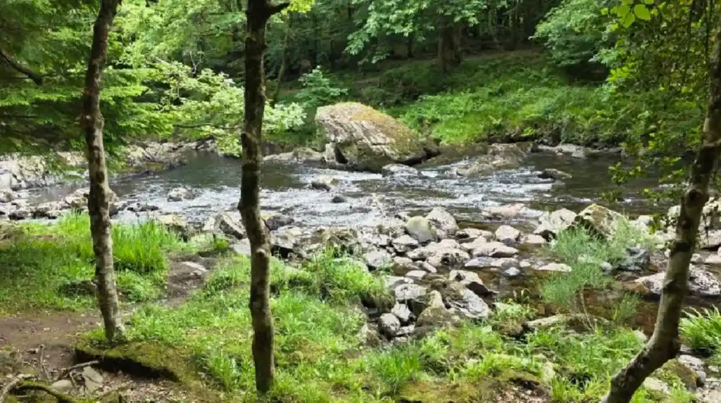
Pont Cyfyng is a historic stone arch bridge spanning the River Llugwy, constructed to facilitate early transport routes. Ty Hyll, also known as The Ugly House, showcases unique drystone building techniques along the main A5 road. The building now serves as a heritage center managed by the Snowdonia Society.
The main complex of Plas y Brenin preserves structural elements of the original 19th-century Capel Curig Inn. Remnants of old slate quarrying structures, workers’ cottages, and tramways remain visible on surrounding hillsides. Roman fort foundations at Caer Llugwy preserve early military stone alignments beneath rural farm pastures.
How does transport infrastructure connect Capel Curig to regional hubs?
Capel Curig functions as a central transport crossroads linking eastern Conwy to western Gwynedd via primary trunk routes. The A5 road offers direct transit to Llangollen eastwards and Bangor north-westwards.
The A4086 branches southwest from the village toward Pen-y-Pass and Llanberis. The Sherpa’r Eryri bus network operates scheduled services connecting Capel Curig to nearby regional rail links. Railway stations at Betws-y-Coed and Llandudno Junction handle mainline passenger rail connections.
Private transport remains the dominant mode of travel for visitors carrying outdoor equipment. Designated public parking areas accommodate hikers, though capacity fills rapidly during peak holiday periods. Pedestrian footpaths and bridleways run parallel to vehicle corridors to separate traffic.
What local economic activities sustain the community of Capel Curig?
Tourism and outdoor recreation form the primary foundation of the economy in Capel Curig. Businesses include outdoor equipment retailers, independent cafes, traditional pubs, and guest houses.
Agriculture remains an essential economic driver, focused largely on hill farming and sheep grazing. Public sector employment includes jobs at the National Outdoor Centre, national park authority, and military sites. Self-employed mountain guides, instructors, and trade professionals contribute to regional employment.
Seasonal fluctuations impact service industry revenues, with summer months generating higher income. Conservation projects and ecological land management initiatives receive funding from public bodies and charitable trusts. The community maintains high reliance on economic ties with neighboring towns like Betws-y-Coed.
What conservation initiatives protect the natural habitat in Capel Curig?
Capel Curig sits entirely within Eryri National Park, subjecting development projects to strict planning controls. The surrounding area contains multiple Sites of Special Scientific Interest safeguarding upland habitats.
Conservation bodies manage native oak woodland restoration and control non-invasive species along river banks. Peatland restoration projects aim to block artificial drainage ditches on upland moors to store carbon. The Snowdonia Society, headquartered at Ty Hyll, leads volunteer maintenance campaigns along popular footpaths.
Erosion management programs rebuild damaged mountain trails using local stone to limit ecosystem degradation. Sustainable tourism frameworks encourage visitors to utilize public transport options like the Sherpa bus network. Dark Sky Reserve status protects nighttime visibility across the surrounding valley basin.
Read More: How New Holiday Let Tax Rules Impact Property Owners in Wales
Related Article: Exploring the History and Architecture of Wales’ Historic Inns
Explore More: Essential Planning Guide for Camping on Shell Island North Wales
Frequently Asked Questions
What is the best time of year to visit Capel Curig for outdoor activities?
Summer offers the longest daylight hours and warmest temperatures for hiking and climbing. Spring and autumn bring fewer crowds alongside manageable weather conditions. Winter provides opportunities for technical mountaineering when snow covers high peaks.
Where can visitors park when exploring trails around Capel Curig?
Public parking areas exist near Plas y Brenin, the A5 laybys, and Pont Cyfyng. Spaces fill rapidly on weekends and summer peak days. Arriving early or using the local bus system helps avoid parking delays.
Are there public transport connections directly into Capel Curig?
The Sherpa’r Eryri bus service connects Capel Curig directly to Llanberis, Betws-y-Coed, and Bangor. The nearest mainline train station operates in nearby Betws-y-Coed. Bus schedules align with peak travel times for hikers.
Can beginners take outdoor courses at Plas y Brenin?
Plas y Brenin offers introductory courses tailored specifically to absolute beginners. Options include basic navigation, introductory rock climbing, and introductory kayaking. Professional instructors provide all safety equipment and professional guidance.
What options exist for food and accommodation in the village?
Capel Curig features traditional mountain inns, local cafes, bed and breakfasts, and campsites. Visitors can purchase hot meals, packed lunches, and hot drinks throughout the day. Advance bookings remain essential during the summer peak season.