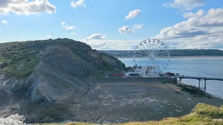
The Gower Peninsula in South Wales experiences a maritime climate defined by mild temperatures, frequent precipitation, and strong coastal winds shaped by the Atlantic Ocean. Located on the northern coast of the Severn Estuary near uk/local/swansea/">Swansea, the peninsula acts as a natural buffer against maritime weather systems. The local weather directly influences agricultural practices, tourism seasons, and coastal ecology. Met Office data indicates that annual rainfall across the region ranges between 950 mm and 1,025 mm, with precipitation recorded on approximately 143 to 152 days every year.
- How Does the Maritime Climate Shape Weather Gower Peninsula Wales Conditions?
- What Are the Seasonal Temperature and Rainfall Averages Across Gower?
- How Do Coastal Winds and Sea Conditions Impact the Gower Coastline?
- What Historic Weather Events Have Formed the Environment of Gower?
- How Does Weather Influence Tourism, Walking, and Outdoor Activities?
- What Climate Changes Are Projected for the Future of Gower Peninsula?
- Frequently Asked Questions
How Does the Maritime Climate Shape Weather Gower Peninsula Wales Conditions?
The Gower Peninsula features a hyper-maritime climate dominated by Atlantic low-pressure systems, resulting in narrow diurnal temperature ranges, moderate rainfall throughout the year, high ambient humidity levels, and frequent coastal wind gusts exceeding 15 knots on average.
The North Atlantic Drift, a warm westward extension of the Gulf Stream, plays a primary role in regulating sea surface temperatures along the Welsh coastline. Sea temperatures around the Gower coast range from a low of 8°C in February to a peak of 17°C in August and September. This thermal mass keeps winter air temperatures significantly milder than inland areas of South Wales, while summer temperatures remain moderated.
Geographic landforms across the 180-square-kilometer peninsula create localized air circulation patterns. The exposed southern cliffs around Rhossili Bay and Oxwich Bay absorb the full force of southwesterly prevailing winds. Conversely, the sheltered northern coast bordering the Burry Inlet experiences lower wind exposure and reduced coastal erosion rates. Atmospheric humidity averages 82% annually, leading to persistent ocean mists, sea fog, and sudden shifts in horizontal cloud cover.
Microclimatic variations manifest across short geographical distances due to topographical shifts from sea level up to 193 meters at Cefn Bryn. Elevated ridges force incoming maritime air upward, inducing orographic lifting that triggers localized rain showers over the central hills while coastal beaches remain clear. These distinct microclimatic zones directly impact soil moisture, vegetation growth, and micro-fauna habitats throughout the national landscape designation area.
What Are the Seasonal Temperature and Rainfall Averages Across Gower?
The Gower Peninsula averages daytime high temperatures of 19°C in peak summer months and 7°C during winter, alongside monthly rainfall varying from 50 mm in spring to over 135 mm during late autumn and early winter storms.
Spring, lasting from March through May, represents the driest period across the peninsula. Daytime maximum temperatures increase gradually from 8.7°C in March to 14.1°C in May. Monthly precipitation levels during spring drop to between 50 mm and 68 mm, providing optimal conditions for agricultural sowing and coastal foot travel. Air frost days decline rapidly from 2.3 days in March to fewer than 0.1 days by May.
Summer spans June through August, delivering the warmest weather and longest daylight hours. Average maximum temperatures peak at 18.9°C in July and August, while average night minima remain at 13°C. Precipitation increases slightly in late summer due to convective rain showers, averaging 65 mm to 83 mm per month. Solar irradiance averages 6 to 7 hours of direct sunshine per day during June and July.
Autumn introduces transitional weather systems characterized by deepening Atlantic depressions. September maintains pleasant conditions with average highs of 17°C, but rainfall rises to 90 mm. By October and November, rainfall reaches peak levels of 113 mm to 134 mm per month, accompanied by mean wind speeds of 15 knots.
Winter, covering December through February, brings damp, windy, and cool weather. High temperatures average 7°C to 8.5°C, while night temperatures rarely drop below 2.7°C. Total winter precipitation exceeds 280 mm across the season. Snowfall remains extremely rare at sea level due to coastal ocean buffering, occurring on fewer than 3 days per year on average.
How Do Coastal Winds and Sea Conditions Impact the Gower Coastline?
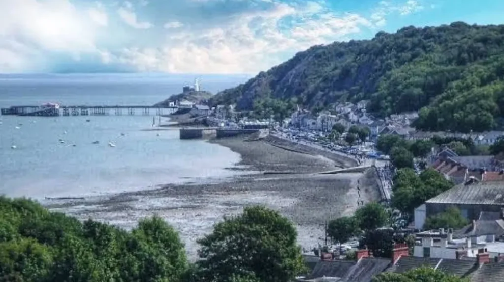
Prevailing southwesterly winds generate average speeds of 12 to 17 knots with storm gusts exceeding 50 knots, driving high-energy wave dynamic forces, significant coastal erosion, and dramatic tidal shifts within the Bristol Channel basin.
The Severn Estuary and Bristol Channel region exhibits the second-highest tidal range in the world, reaching up to 15 meters during spring tides. These massive tidal swings interact directly with weather conditions, rapidly covering tidal causeways such as the route to Worm’s Head near Rhossili. Strong onshore winds combined with high spring tides produce storm surges that temporarily elevate coastal water levels, accelerating cliff retreat along soft sandstone and limestone formations.
Wind force data recorded at the Mumbles Head meteorological station demonstrates that December is the windiest month, with mean wind speeds of 17 knots. Summer months see reduced mean wind velocities averaging 10.9 knots to 13.5 knots. Maritime gales occur most frequently between October and March, impacting commercial shipping routes, marine navigation, and coastal safety protocols.
Wave dynamics vary sharply based on coastal orientation. South-facing beaches like Llangennith receive direct ocean swells generated across thousands of miles of Atlantic open water, creating consistent wave breaks ideal for water sports. North-facing shorelines along the Loughor Estuary remain protected from ocean swells, resulting in calm water conditions that support extensive salt marsh ecosystems and intertidal mudflats.
       GWYNVER / LLANGENNITH (West-Facing)
       ▲ Atlantic swells enter directly
       ▲ High wave energy & active surf
       │
[GOWER]─── CULVER HOLE / OXWICH (South-Facing)
       │   ▲ Moderate exposure & tidal swells
       │
       ▼
       LOUGHOR ESTUARY / BURRY INLET (North-Facing)
       • Protected water & salt marshes
       • Low wave energy
What Historic Weather Events Have Formed the Environment of Gower?
Historic meteorological events, including the Great Storm of 1703, severe winter freezes in 1963, and modern heatwaves, have reshaped dune systems, shifted coastline borders, influenced local forestry, and altered native coastal flora.
The Great Storm of November 1703 stands as one of the most destructive atmospheric events recorded in South Wales history. Hurricane-force winds driven across the Bristol Channel inundated coastal villages, inundated agricultural acreage with saltwater, and reshaped the mobile sand dune structures at Oxwich Burrows and Whiteford Sands. This storm altered sediment distribution patterns that continue to define the current coastal geography.
The extreme winter of 1962–1963 introduced severe ice formation along the Loughor Estuary. Sub-zero temperatures persisting for eight consecutive weeks froze intertidal mudflats, causing significant mortalities among native wading bird populations and damaging marine mollusk beds. This event provided scientists with baseline data regarding estuarine ecological resilience following prolonged arctic cold spells.
In recent decades, shifting atmospheric patterns have produced record heat and precipitation events. July 2022 recorded peak air temperatures exceeding 31°C across Swansea and Gower, stressing shallow-rooted heathland plants on Cefn Bryn. Conversely, extreme rainfall events during the winter storms of 2013–2014 triggered notable cliff falls along the limestone bluffs of Caswell Bay and Langland Bay, demonstrating the ongoing mechanical power of rain-saturated rock faces.
Historical records demonstrate that extreme weather plays a major role in shaping human settlement patterns on the peninsula. Early coastal fortresses, medieval churches, and agricultural field systems were intentionally placed inland or on sheltered lee slopes to minimize structural damage from recurring maritime storm surges and persistent salt spray.
How Does Weather Influence Tourism, Walking, and Outdoor Activities?
Weather patterns directly dictate seasonal visitor volumes, outdoor recreation safety, trail conditions along the Wales Coast Path, water sports viability, and local tourism management decisions throughout the Gower Peninsula.
Outdoor recreation on Gower depends heavily on real-time weather observations and tide forecasts. The Wales Coast Path, which spans 63 miles around the peninsula, experiences high pedestrian traffic during the dry spring and summer months. Wet autumn weather increases surface mud on cliff paths, requiring visitors to wear specialized footwear and exercise caution along exposed edge routes near Mewslade Bay and Pennard Castle.
Water sports enthusiasts utilize specific wind and swell combinations. Llangennith and Rhossili attract surfers year-round when westerly winds align with incoming Atlantic swells. Windsurfers and kiteboarders prefer Oxwich Bay during southerly airflow, while paddleboarders operate in the sheltered waters of Langland Bay during calm summer anticyclones.
Public safety infrastructure responds directly to weather risks. Coastguard teams, local authorities, and life-saving organizations monitor wind direction, sea temperature, and tidal cycles. High winds paired with spring tides frequently require the temporary closure of low-lying coastal paths and tidal causeways to prevent visitors from becoming stranded by fast-moving water.
| Season | Avg High Temp (°C) | Avg Rainfall (mm) | Key Activity Focus | Primary Safety Consideration |
| Spring (Mar–May) | 8.7–14.1 | 50–68 | Coastal walking, wildlife spotting | Rapidly changing spring weather |
| Summer (Jun–Aug) | 17.0–18.9 | 66–83 | Swimming, surfing, beach visits | High UV exposure, heat hydrations |
| Autumn (Sep–Nov) | 10.5–17.0 | 90–134 | Hiking, photography, storm watching | Slippery trails, high coastal gusts |
| Winter (Dec–Feb) | 7.0–8.5 | 62–113 | Quiet walks, birdwatching | Tidal surges, cold sea temperatures |
What Climate Changes Are Projected for the Future of Gower Peninsula?
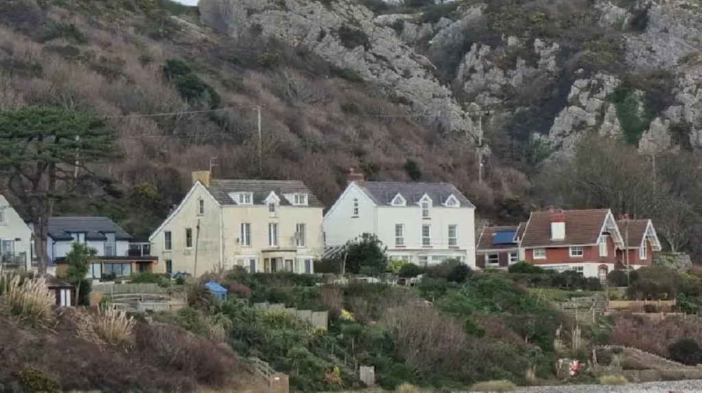
Climate model projections indicate that Gower will experience warmer, drier summers alongside wetter, milder winters, increased ocean surface temperatures, and a rise in severe coastal storm surges.
UK Climate Projections (UKCP18) datasets developed by the Met Office outline long-term atmospheric shifts for South Wales. By 2070, average summer temperatures across Gower could rise by 0.9°C to 4.2°C depending on global greenhouse gas emission pathways. Summer precipitation is projected to decrease by up to 30%, increasing the risk of seasonal droughts and wildfire hazards on dry heathlands.
Winter conditions are expected to become warmer and significantly wetter. Average winter precipitation may increase by 5% to 20% by late century, elevating soil saturation levels, river flow rates, and localized inland flooding. Increased rainfall intensity accelerates surface runoff into estuaries, altering salinity levels in sensitive aquatic breeding grounds along the Burry Inlet.
Sea level rise presents an ongoing structural challenge for coastal management. Projections suggest water levels in the Bristol Channel could rise by 0.4 to 0.9 meters by 2100. Higher base sea levels magnify the destructive potential of storm surges, increasing erosion rates along soft clay cliffs and threatening coastal infrastructure, car parks, and heritage sites at Port Eynon and Freshwater East.
Environmental conservation bodies, including Natural Resources Wales and the National Trust, are implementing adaptive management strategies. These initiatives focus on sand dune restoration to absorb wave energy, managed retreat of selected coastal defences, and habitat creation inland to offset lost salt marsh areas.
Frequently Asked Questions
What is the warmest month to visit the Gower Peninsula?
July and August are the warmest months on the Gower Peninsula, with average daytime maximum temperatures reaching 18.9°C. Sea temperatures peak at 17°C during late August and September, making late summer the most popular period for swimming and water sports.
Does it snow on the Gower Peninsula during winter?
Snowfall is extremely rare at sea level on the Gower Peninsula due to the temperature-buffering effect of the surrounding Atlantic Ocean. Light snow occasionally falls on higher inland ground like Cefn Bryn during severe cold spells, but it typically melts within 24 to 48 hours.
How windy does it get on the Gower coastline?
The Gower Peninsula experiences high wind levels, with annual wind speeds averaging 12 to 17 knots. Winter months bring frequent gale-force gusts exceeding 40 knots along exposed southern cliffs like Rhossili and Worm’s Head.
Which part of Gower gets the best weather for beaches?
South-facing beaches such as Oxwich Bay, Langland Bay, and Caswell Bay generally receive more sheltered conditions from northwesterly winds and accumulate high sunshine hours during summer anticyclones. West-facing beaches like Rhossili experience higher wind speeds and larger wave swells.
What should I pack for walking the Gower Coast Path?
Pack layered clothing, a waterproof and windproof jacket, sturdy hiking boots with deep tread, and sun protection regardless of the season. Coastal weather changes rapidly, so carrying extra hydration, physical maps, and tide charts is essential for safe trail navigation.