Dyserth is a historic village and community situated in Denbighshire, northeast Wales, positioned south of the coastal town of Rhyl and east of Prestatyn. The settlement sits in the Clwydian Range and Dee Valley area, characterized by dramatic limestone cliffs, cascading waterfalls, and rolling agricultural green spaces. Geographically, the village occupies a strategic position near the coastal plain where the Vale of Clwyd transitions into the upland hills of Flintshire. Historically, the area dates back to ancient times, with evidence of prehistoric human activity, Roman presence, and medieval fortifications that shaped its regional importance.
- What are the key historical landmarks and medieval structures located in Dyserth Wales?
- How does the natural environment and geography shape the Dyserth Wales waterfall and local ecosystem?
- What are the economic drivers, transport links, and community infrastructure in Dyserth Wales?
- What recreational activities and tourism opportunities are available in Dyserth Wales?
- Frequently Asked Questions
The strategic location made the settlement a frequent focal point during early Welsh and English border conflicts, particularly during the reign of the Welsh princes and the subsequent Edwardian conquest. Today, the village functions as a peaceful residential community while retaining significant architectural landmarks that attract historians, geologists, and rural tourists. The surrounding natural landscape features extensive limestone quarries, ancient woodland tracts, and river networks that drain into the nearby Irish Sea via the River Clwyd catchment area. Local administration falls under the purview of Denbighshire County Council, which manages regional planning, infrastructure maintenance, and community services for the local population.
The geographical layout of the settlement is heavily influenced by the regional geology, specifically the Clwydian limestone ridge that runs north to south through the region. This geological formation creates steep escarpments and natural water features, most notably the Dyserth Waterfall, which drops over seventy feet of limestone rock. The surrounding terrain provided early inhabitants with natural defensive advantages, leading to the construction of strategic strongholds such as Carreg Cennen style fortifications and medieval castles. During the industrial era, the economy transformed through extensive limestone extraction, lead mining, and agricultural processing, altering the local landscape significantly. Industrial heritage remains visible through disused quarry faces, old tramway routes, and traditional stone cottages built to house nineteenth-century quarrymen and miners.
Modern transport connectivity relies primarily on the A5151 road, which links the community directly to Prestatyn, Holywell, and the broader North Wales Expressway corridor. Public administration and local governance are managed through structured community councils that oversee local amenities, recreational grounds, and historical preservation initiatives. The demographic profile reflects a blend of long-standing rural families, retirees, and commuters who work in nearby urban centers like Chester, Rhyl, and uk/local/st-asaph/">St Asaph. Environmental conservation efforts focus on protecting the local flora and fauna, particularly within designated Sites of Special Scientific Interest located along the adjacent limestone hills.
What are the key historical landmarks and medieval structures located in Dyserth Wales?
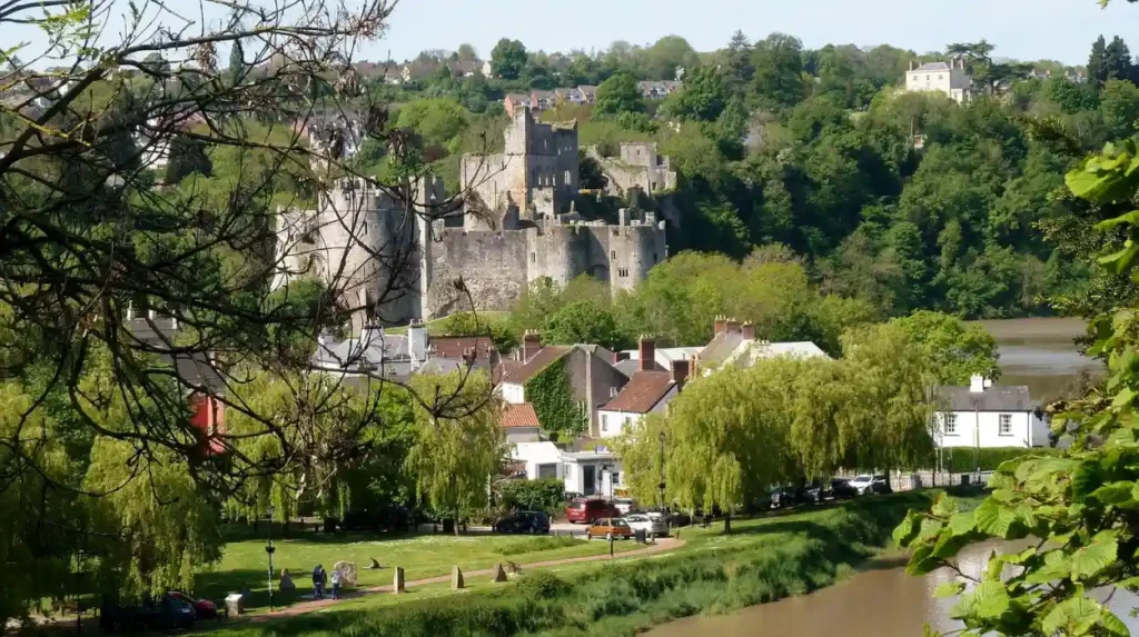
Dyserth Castle stands as the most prominent historical fortification in the area, constructed in the thirteenth century during the turbulent border wars between the English Crown and the Welsh princes. The fortress was built on a commanding rocky outcrop known locally as Craig Gronant, offering panoramic views across the coastal plain and the Irish Sea. Historical records indicate that Henry the Third ordered the fortification of the site around one thousand two hundred and forty-one to secure the borderlands and protect English interests in the region. However, the stronghold had a relatively short active lifespan and was captured and destroyed by the forces of Llywelyn ap Gruffudd during a Welsh uprising in one thousand two hundred and sixty-three.
Today, only sparse masonry ruins remain scattered across the hilltop, yet archaeological excavations have revealed valuable artifacts including weapon fragments, pottery shards, and medieval coins. Another significant historical site within the village is the parish church of Saint Bridget, which features a remarkable interior containing ancient carved stones and medieval stained glass. The churchyard houses a venerable yew tree that is estimated to be over a thousand years old, serving as a living link to the early Christian foundations of the settlement. Additional heritage assets include old watermills along the Afon Ffyddion, historic lime kilns, and traditional stone bridges that reflect the rural engineering of past centuries.
The architectural evolution of the parish church provides a fascinating insight into the religious and cultural shifts that occurred in rural Wales from the medieval period onward. Saint Bridget Church incorporates structural elements from the fifteenth century, although extensive Victorian restorations in the nineteenth century altered parts of the fabric while preserving ancient memorials. Inside the sacred building, visitors can examine a rare Jesse window and ancient crosses that date back to the pre-Norman era of Welsh Christianity. The surrounding conservation area protects several listed buildings, including former coaching inns, farmhouses, and estate cottages constructed from locally quarried limestone. Historical records from the Domesday Book era and subsequent royal surveys document how the local manor changed hands between Norman lords, Welsh chieftains, and monastic institutions.
The presence of industrial archaeology further enriches the historical landscape, featuring remnants of nineteenth-century tramroads that transported quarried stone down to coastal shipping ports. Preservation societies and local historians actively document these features, ensuring that the rich heritage of the community is maintained for future educational and research purposes. Educational walking trails equipped with interpretive signage allow visitors to explore the castle ruins, churchyards, and industrial relics in a structured and informative manner. Local archives and national libraries hold extensive collections of maps, photographs, and manuscripts detailing the social and economic transformation of the village over the past five centuries.
How does the natural environment and geography shape the Dyserth Wales waterfall and local ecosystem?
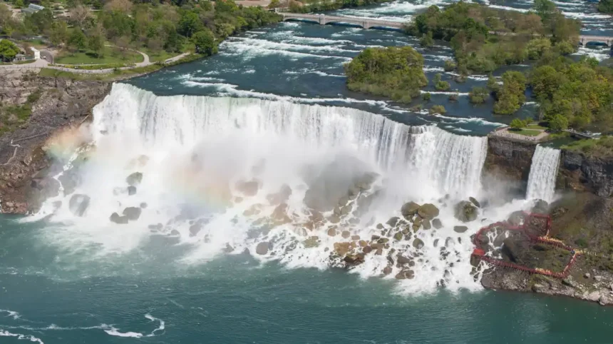
The natural environment is dominated by the spectacular Dyserth Waterfall, where the Afon Ffyddion plunges seventy feet over a sheer limestone cliff face into a shaded pool below. This dramatic geological feature was formed over thousands of years as water eroded the softer underlying strata while cutting through the resistant carboniferous limestone ridge. The waterfall has served as a major tourist attraction since the Victorian era, when landscape painters and early holidaymakers arrived via the newly constructed railway networks to admire the scenery. Surrounding the waterfall, the damp microclimate supports a diverse array of mosses, ferns, and woodland flora that thrive in the sheltered gorge environment.
The broader ecosystem includes extensive tracts of broadleaved woodland, calcareous grassland, and scrub habitats that provide crucial foraging and nesting grounds for native bird species. Local conservation designations aim to protect these fragile habitats from the pressures of agricultural intensification, invasive plant species, and unmanaged recreational footfall. Geological formations in the area also feature numerous small caves and fissures, which are of significant interest to speleologists and paleontologists studying Ice Age animal remains.
Water management and hydrological dynamics play a critical role in maintaining the flow of the waterfall, particularly during periods of heavy regional rainfall typical of the Welsh uplands. Natural springs emerging from the limestone aquifer contribute steady baseflows to the river system, ensuring that the cascade remains active throughout most of the year. Environmental monitoring agencies regularly assess water quality in the Afon Ffyddion to protect aquatic life, including native brown trout and various macroinvertebrate species sensitive to pollution. The surrounding limestone pavement habitats are recognized as rare ecological features, hosting specialized drought-resistant plants that grow directly within the rocky fissures and clints.
Wildlife enthusiasts frequently observe badgers, foxes, red kites, and numerous songbird species traversing the woodland corridors and agricultural boundaries of the parish. Local authority initiatives and community volunteer groups engage in regular conservation clean-ups, invasive weed removal, and tree planting schemes to enhance regional biodiversity. The integration of public footpaths with working agricultural land requires careful cooperation between landowners, ramblers, and local council access officers to maintain rural harmony. Future environmental planning focuses on climate change adaptation strategies, ensuring that local watercourses and woodland can withstand increasingly volatile weather patterns and storm events.
What are the economic drivers, transport links, and community infrastructure in Dyserth Wales?
The local economy of the village relies on a combination of tourism, small-scale agriculture, retail services, and commuter links to larger commercial hubs across North Wales and Northwest England. While traditional industries like limestone quarrying and lead mining have long since ceased operations, they left behind a legacy of industrial heritage that continues to draw visitors and heritage tourists. Small local businesses, including traditional public houses, tearooms, convenience stores, and guest accommodations, cater to the steady stream of walkers and holidaymakers exploring the Clwydian Range.
Transport infrastructure centers on the road network, with the A5151 providing direct access to the coastal resort of Rhyl and the major arterial A55 expressway corridor. Although the village railway station closed in the mid-twentieth century following the Beeching cuts, nearby stations at Prestatyn and Rhyl offer frequent rail connections to Chester, Manchester, and London. Community infrastructure includes a local primary school, village halls, sports facilities, and active community organizations that foster strong social cohesion among residents. Local government services are coordinated through Denbighshire County Council, ensuring adequate provision of waste management, road maintenance, and social care programs.
The transition from an industrial and agricultural settlement to a modern commuter and retirement village has reshaped the demographic structure and housing market over recent decades. New residential developments have integrated harmoniously with the historic core, expanding housing stock while maintaining strict planning controls to protect the rural character of the landscape. Employment patterns indicate that a significant proportion of the working population commutes to regional employment centers such as St Asaph Business Park, Rhyl, and Chester for professional and administrative roles. Broadband connectivity and digital infrastructure have improved markedly, enabling remote workers and digital freelancers to establish home offices within the rural setting.
Educational facilities within the community provide primary-level instruction, while secondary students travel to nearby comprehensive schools in Prestatyn or Rhyl via dedicated school transport services. Healthcare provision relies on local medical practices in neighboring towns, supported by regional hospital facilities located in Bodelwyddan and Bangor. Community resilience is demonstrated through numerous volunteer-led clubs, historical societies, and charitable events that enrich local social life and support vulnerable residents. Strategic economic development plans formulated by regional authorities aim to promote sustainable rural tourism and green technologies to secure the long-term prosperity of the settlement.
What recreational activities and tourism opportunities are available in Dyserth Wales?
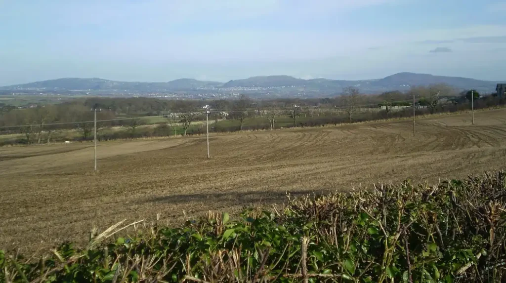
Recreational opportunities in the area focus heavily on outdoor pursuits, including long-distance walking, heritage tourism, rock climbing, and nature photography within the Clwydian Range Area of Outstanding Natural Beauty. The Offa Dyke Path National Trail passes close to the village, attracting international hikers and backpackers undertaking the historic one hundred and seventy-seven-mile route from Sedbury to Prestatyn. Local walking trails offer varied terrain, ranging from gentle strolls along historic tramways to challenging ascents up the limestone ridges that offer sweeping views across the Vale of Clwyd.
Cyclists utilize the quiet rural lanes and designated cycle paths that connect the village to the North Wales coast and regional cycle networks. Cultural tourism centers on exploring the medieval castle remains, visiting Saint Bridget Church, and photographing the famous waterfall during peak flow conditions after heavy rainfall. Local hospitality providers offer traditional Welsh food, real ales, and comfortable accommodation for travelers seeking an authentic rural getaway away from mass tourism hotspots. Educational tourism is also supported through interpretive panels and guided heritage walks organized by local history groups and council rangers.
Adventure tourism in the wider region benefits from proximity to Snowdonia National Park, coastal water sports centers, and world-class mountain biking facilities located within traveling distance of the village. Visitors frequently use the settlement as a quiet base camp while exploring broader North Wales attractions such as Conwy Castle, the Great Orme in Llandudno, and various heritage railways. Seasonal events, including village fetes, craft fairs, and historical reenactments, foster community engagement and provide entertainment for families and tourists alike. Photography enthusiasts find endless inspiration in the shifting light over the limestone cliffs, the abundant autumn foliage in the woodland valleys, and panoramic vistas stretching toward the Irish Sea.
Local tourism strategies emphasize sustainable travel principles, encouraging visitors to utilize public transport, respect agricultural boundaries, and practice Leave No Trace outdoor ethics. Information centers in nearby towns provide comprehensive maps, guidebooks, and digital resources to help tourists plan safe and enriching itineraries throughout the region. The combination of accessible natural beauty, deep historical roots, and welcoming local hospitality ensures that the destination remains a valued gem within the North Wales tourism portfolio.
Frequently Asked Questions
Where is Dyserth located in Wales?
Dyserth is a historic village situated in Denbighshire, northeast Wales, positioned just south of the coastal town of Rhyl and east of Prestatyn. It lies within the foothills of the Clwydian Range, offering a blend of dramatic limestone landscapes and rural countryside.
What caused the closure of Dyserth Castle?
Dyserth Castle was captured and systematically destroyed by the forces of Welsh prince Llywelyn ap Gruffudd in one thousand two hundred and sixty-three. The fortress had a very short active military lifespan following its construction by the English Crown in the mid-thirteenth century.
Can visitors view the Dyserth Waterfall?
Yes, the Dyserth Waterfall is a major public attraction located within the village where the Afon Ffyddion drops over seventy feet of limestone rock. It is easily accessible via local footpaths and attracts numerous visitors and landscape photographers throughout the year.
What are the main industries in Dyserth today?
While historical economies relied heavily on limestone quarrying and lead mining, today the local economy is driven primarily by rural tourism, agriculture, small local businesses, and commuter services. Many residents work in nearby regional hubs like Chester and St Asaph.
Is Dyserth close to any major hiking trails?
Yes, the village is located very close to the Offa Dyke Path National Trail, making it a popular stopping point and base camp for long-distance hikers. The surrounding Clwydian Range also offers extensive networks of public footpaths and cycling routes.