Cardiff Wales uses the primary postcode prefix CF. The main postcodes for central uk/local/cardiff/">Cardiff range from CF10 for the City Centre and Cardiff Bay to CF11, CF14, CF23, and CF24 covering surrounding suburban residential sectors.
- What Is the History of the CF Postcode Area in South Wales?
- How Is the Cardiff Postal Code System Structured?
- What Are the Main District Postcodes in Cardiff?
- How Do Postcodes Impact Local Services and Real Estate in Cardiff?
- What Are Non-Geographic and Special Postcodes in Cardiff?
- How to Correctly Format a Cardiff Postal Code for International Mail?
- Frequently Asked Questions
Cardiff, the capital city of Wales, operates under a standardized geographic postal code framework managed by the Royal Mail. The postal code area code designation for Cardiff is CF, which originates from the first and last letters of the city name. Royal Mail established the alphanumeric system across the United Kingdom between 1959 and 1974 to automate mail sorting and improve logistical efficiency. Within Cardiff, postal codes serve as vital spatial identifiers used by emergency services, local council planning departments, navigation systems, and commercial transport networks. Understanding the structural layout of these geographic codes ensures accurate location identification and efficient service delivery throughout the capital region.
Cardiff postal addresses feature two main components separated by a space, known as the outward code and the inward code. The outward code begins with the CF letters, followed by a one or two digit number that designates the specific postal district. The inward code contains a single number followed by two letters, pinpointing a precise street, large building, or commercial unit. For example, in the postal code CF10 1DD, CF10 represents the central Cardiff postal district, while 1DD identifies the specific street block or premises. This dual-code mechanism enables mechanical optical character readers to process mail streams directly to individual delivery routes across South Wales.
What Is the History of the CF Postcode Area in South Wales?
The CF postcode area was introduced by Royal Mail in 1970 as part of the UK national automated postcoding initiative. It replaced legacy postal zones to streamline regional mail sorting across South Glamorgan, Mid Glamorgan, and surrounding valleys.
Before the introduction of standardized postcodes, mail in Cardiff was sorted manually using traditional town names and regional county designations. As urban density increased in post-war Wales, Royal Mail introduced automated mechanical sorting systems that required machine-readable geographic markers. The CF prefix was formally assigned to Cardiff and its surrounding hinterlands during the national rollout in 1970. Originally, the system contained broader district boundaries, but rapid commercial expansion and new housing developments during the late twentieth century necessitated a major structural overhaul of the regional postal infrastructure.
In 1999, Royal Mail executed a comprehensive re-coding operation across the CF area to resolve capacity limits in high-growth districts. Old postal zones such as CF1, CF2, CF3, CF4, and CF5 were split into narrower, more precise sector boundaries. For instance, central districts were re-mapped so that CF10 absorbed the central business sector and Cardiff Bay, while CF24 was allocated to Cathays, Roath, and Adamsdown. Today, the CF area encompasses dozens of distinct districts spanning from coastal Cardiff northward into the South Wales Valleys, serving as an essential administrative system for regional logistics.
How Is the Cardiff Postal Code System Structured?
The Cardiff postal code system uses an alphanumeric structure divided into an outward code for regional sorting and an inward code for street-level delivery. Together, these codes direct mail from national processing centers straight to specific addresses.
The architecture of a Cardiff postal code follows a strict hierarchy designed for algorithmic processing and spatial database indexing. The first part, the outward code, consists of the area characters CF followed by a district number ranging from 3 to 99. The outward code identifies the destination post town, which for local districts is Cardiff. When mail enters the sorting network, high-speed optical scanners read the outward code to direct packages to the central Cardiff delivery office. This initial sorting phase narrows the destination down to a broad neighborhood or municipal zone within the capital territory.
The second part of the code, known as the inward code, begins with a digit representing the sector, followed by two letters representing the unit code. The unit code typically identifies a small group of up to 80 properties, a single large commercial building, or a specific side of a residential street. Characters such as C, I, K, M, O, and V are excluded from certain positions in the inward code to avoid visual confusion with digits during optical scanning. This structural precision allows logistical algorithms to plot exact delivery paths for postal carriers and courier drivers across the city.
What Are the Main District Postcodes in Cardiff?
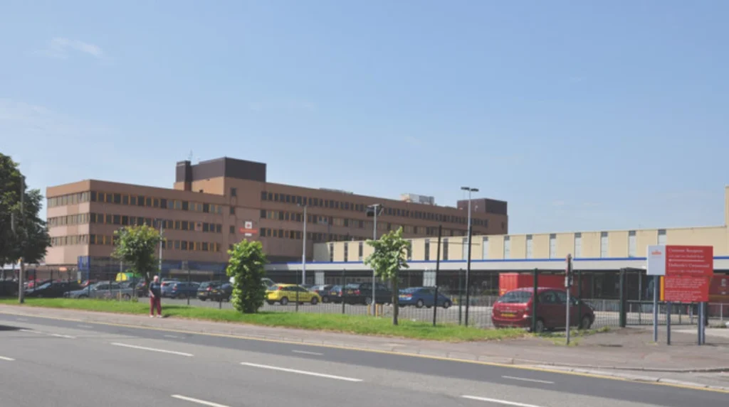
Main district postcodes in Cardiff include CF10 for the City Centre and Bay, CF11 for Riverside and Grangetown, CF14 for northern suburbs, CF23 for eastern zones, and CF24 for student quarters like Cathays.
Cardiff is divided into several primary postal districts, each serving distinct geographical and socio-economic sectors of the city. CF10 covers the commercial heart of the capital, encompassing the Central Shopping District, Castle Quarter, civic center, and the redeveloped waterfront district of Cardiff Bay. Immediately adjacent is CF11, which spans key inner-south neighborhoods including Grangetown, Riverside, and the iconic sports venues surrounding the Sophia Gardens complex. These two central districts host the highest concentration of commercial addresses, public administrative buildings, and high-density apartment complexes within the city boundary.
Northern and eastern residential zones are categorized under CF14, CF23, and CF3. District CF14 covers major suburban communities such as Whitchurch, Heath, Rhiwbina, and Birchgrove, hosting key public institutions like the University Hospital of Wales. District CF23 encompasses northeastern areas including Cyncoed, Pentwyn, and Penylan. Eastern areas such as Rumney, Trowbridge, and St Mellons fall under CF3. District CF24 services high-density residential corridors close to higher education campuses, including Cathays, Roath, Splott, and Adamsdown. West Cardiff neighborhoods like Ely, Canton, Fairwater, and Llandaff fall under CF5.
How Do Postcodes Impact Local Services and Real Estate in Cardiff?
Postcodes in Cardiff directly influence local authority planning, property valuation metrics, emergency dispatch routing, insurance premium calculations, and catchment boundaries for state schools.
In property markets across South Wales, a postal code serves as a key variable in valuation modeling and buyer search behavior. Real estate search engines and valuation algorithms utilize postcode districts to categorize property listings and evaluate local price trends. For example, residential properties located within CF14 or CF23 districts often command higher market valuations due to proximity to established suburban infrastructure, parks, and desirable school catchments. Conversely, central districts like CF10 and CF24 show different valuation patterns driven by high proportions of rental apartments and student housing units.
Insurance underwriters rely heavily on granular postcode data to assess localized risk profiles. Car insurance algorithms evaluate vehicle crime rates, traffic congestion, and accident frequencies at the postcode sector level, meaning two streets separated by a single digit can carry different annual premiums. Similarly, home insurance rates factor in localized flood risks along the River Taff and coastal zones, alongside historic property crime metrics bound to specific postal units. Emergency services use postal codes in conjunction with the Ordnance Survey National Geographic Database to ensure rapid response routing across Cardiff.
What Are Non-Geographic and Special Postcodes in Cardiff?
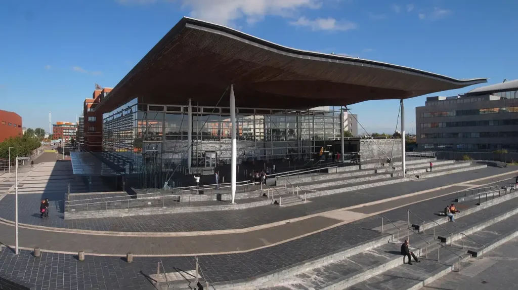
Non-Geographic postcodes in Cardiff include CF91, CF95, and CF99, which are designated for major government bodies, commercial entities, national institutions, and high-volume PO Box services.
Royal Mail assigns non-geographic postcodes to organizations that process exceptional volumes of daily mail, bypassing standard residential delivery routes. In Cardiff, special non-geographic codes start with unique district digits within the CF range, primarily designated as CF91, CF95, and CF99. These codes do not correspond to a specific street or physical land area. Instead, mail bearing these codes is routed directly to specialized sorting facilities where it is sorted and delivered in bulk to institutional headquarters or corporate sorting rooms.
A prominent example of a non-geographic code is CF99 1SN, which is assigned to the Senedd (Welsh Parliament) located in Cardiff Bay. Government departments, regional tax offices, major banking institutions, and utility providers operating within the capital maintain dedicated non-geographic postcodes to manage constituent correspondence efficiently. Additionally, Royal Mail uses CF30 for internal administrative operations and non-geographic PO Box allocations. Using these dedicated codes helps prevent congestion in central urban delivery offices and ensures high-priority administrative mail reaches its destination without delay.
How to Correctly Format a Cardiff Postal Code for International Mail?
To format a Cardiff postal code correctly, write the full street address, post town, postcode, and country on separate lines in capital letters, such as CARDIFF CF10 1DD, UNITED KINGDOM.
International address standards established by the Universal Postal Union require precise formatting to ensure automated optical sorting systems in origin countries can process outgoing items correctly. When sending mail to Cardiff from overseas, the recipient’s name, house number, and street name should appear on the top lines. The post town name CARDIFF must be written in full, uppercase letters, followed immediately by the complete postal code on the same line or directly below it, maintaining a clear single space between the outward and inward segments.
The final line of an international address label must always state the destination country name in clear capital letters, using UNITED KINGDOM or WALES, UK. Avoid inserting punctuation marks like commas or periods at the end of address lines, as stray marks can interfere with high-speed character recognition scanners. Ensuring clear line spacing and correct character positioning prevents manual sorting holds at international exchange hubs, ensuring rapid transit through border customs and local delivery networks across Wales.
Frequently Asked Questions
What is the central city center postal code for Cardiff?
The main postal code for central Cardiff is CF10, covering the primary shopping districts, Queen Street, St David’s Centre, and Cardiff Bay.
How do I find a specific street postal code in Cardiff?
You can search a full street address using the official Royal Mail Postcode Finder tool or check local government electoral register databases.
Why did my Cardiff postal code change in 1999?
Royal Mail restructured the CF area in 1999, splitting older codes like CF1 and CF2 into distinct districts like CF10 and CF24 to handle regional population growth.
Does Cardiff share its CF postcode prefix with other towns in Wales?
Yes, the CF postcode area covers Cardiff as well as surrounding towns across South Wales including Barry, Caerphilly, Pontypridd, and Bridgend.
What postal code is used for the Welsh Parliament in Cardiff?
The Welsh Parliament (Senedd Cymru) uses the dedicated non-geographic postal code CF99 1SN for official correspondence.